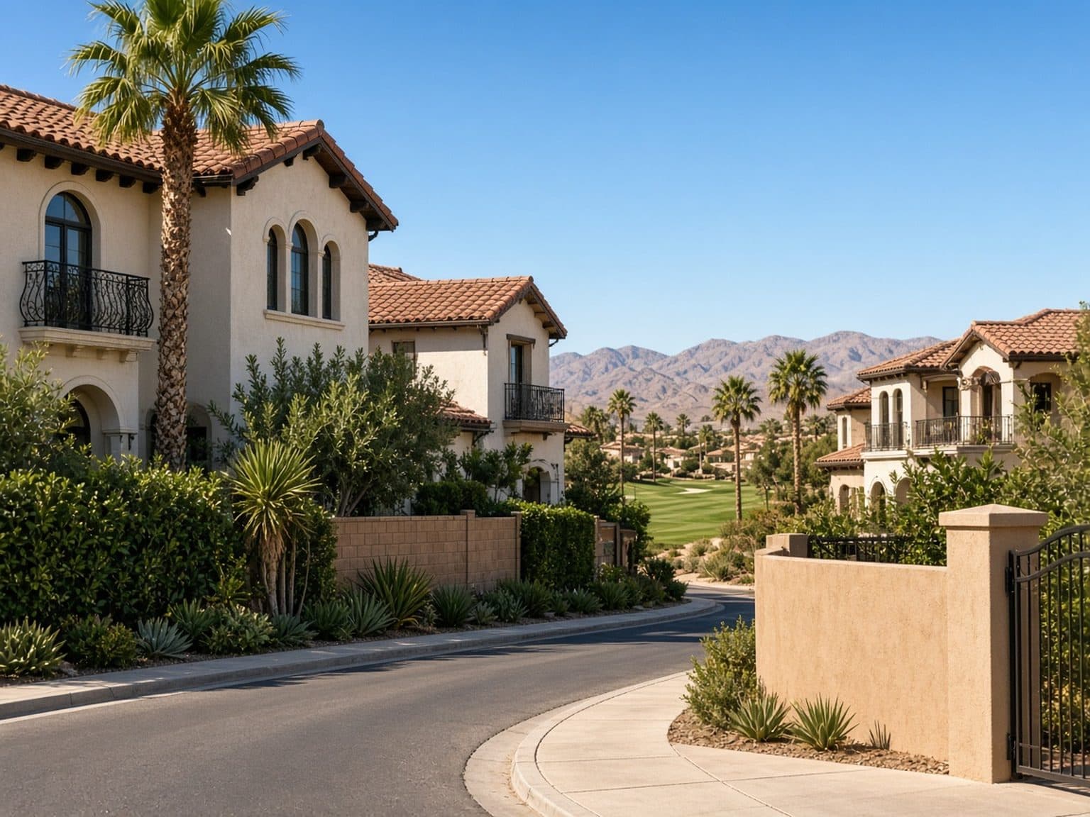

Spring Valley, NV · inside the CDP
The Foothills Spring Valley Homes
The Foothills is a west Spring Valley subdivision around Fort Apache Road and Katie Avenue, still east of Hualapai Way and north of Warm Springs Road.
Boundary test: Sahara Avenue north, Decatur Boulevard east, Warm Springs Road south, Hualapai Way west (33.4 sq mi).
The Foothills on the Spring Valley map
Fort Apache Road and Katie Avenue, inside unincorporated Spring Valley.
This pocket is often searched with Buffalo Ranch and the Lewis Homes streets near Spring Mountain Road and Fort Apache. Housing is primarily single-family; HOA and lot size still vary by tract.
Roger M. Bryan Elementary School (8255 W Katie Ave, 89147) is in this Katie Avenue corridor, next to Desert Breeze Park. School assignments are by address—confirm with Clark County School District.
Spring Valley ZIPs for this pocket
Listings near The Foothills often use these Spring Valley ZIPs. Confirm the subdivision on the MLS record.
Nearby schools (names and addresses)
Assignments vary by address. Confirm with Clark County School District.
- Spring Valley High School — 3750 S Buffalo Dr, Las Vegas, NV 89147
- Durango High School — 7100 W Dewey Dr, Las Vegas, NV 89113
- Sierra Vista High School — 8100 W Robindale Rd, Las Vegas, NV 89113
- Roger M. Bryan Elementary School — 8255 W Katie Ave, Las Vegas, NV 89147 Next to Desert Breeze Park at Spring Mountain Road and Durango Drive.
Related Spring Valley neighborhoods
The Foothills — FAQs
Where is The Foothills in Spring Valley?
The Foothills is near Fort Apache Road and Katie Avenue in west unincorporated Spring Valley, inside the Sahara–Decatur–Warm Springs–Hualapai box.
Tour The Foothills with Dr. Jan Duffy
Berkshire Hathaway HomeServices Nevada Properties · 6787 W Tropicana Ave, 2nd Floor, Las Vegas, NV 89103, USA
All Spring Valley neighborhoods on this site
Featured Properties
Explore live MLS listings with photos, prices, and map—tap a property to dive deeper or adjust filters to match how you want to live.